Elterwater to Skelwith Bridge walk
20th May 2025
One of the walks I went on this month was from Elterwater village to Skelwith Bridge. Below are some of the images from the walk.
The Elterwater village area at the start of the walk:
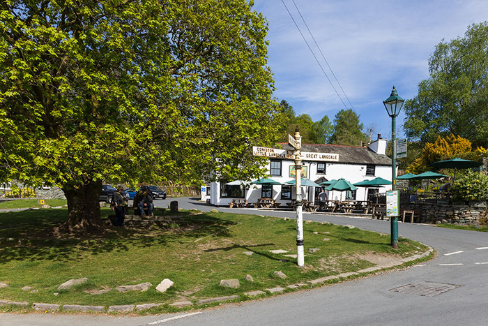
Elterwater village green, with the Britannia Inn in the background.
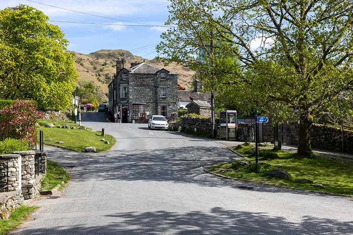
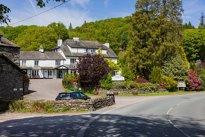
Looking towards the coffee shop on Maple Tree Corner in Elterwater, from near the National Trust car park.
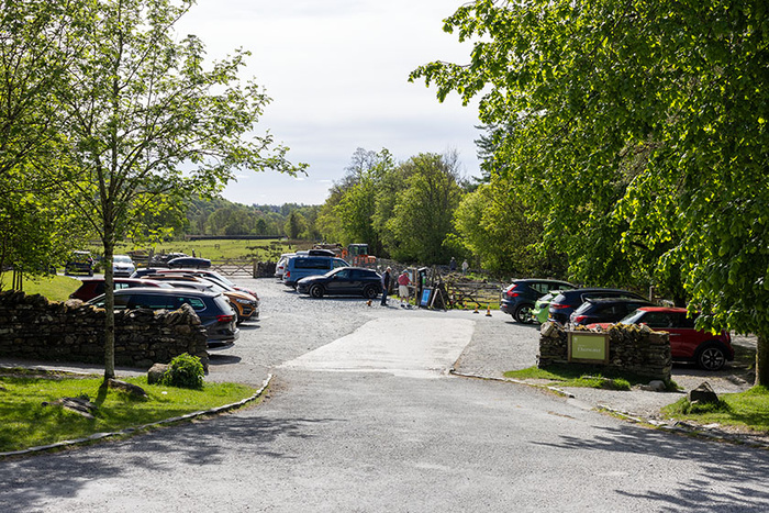
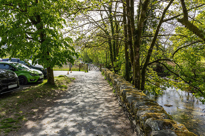
The National Trust car park in Elterwater.
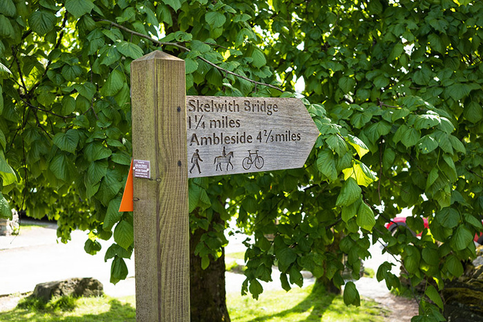
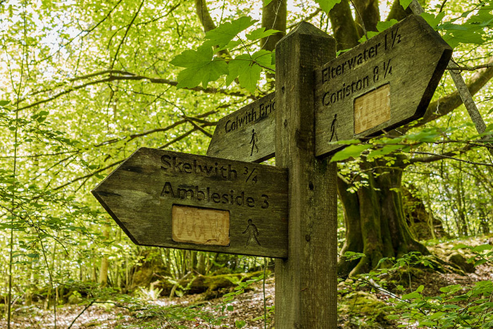
A signpost near the car park.
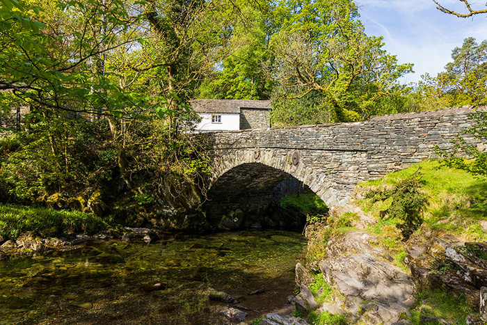
Near the car park is Elterwater Bridge which is a Grade II listed building.
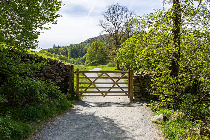
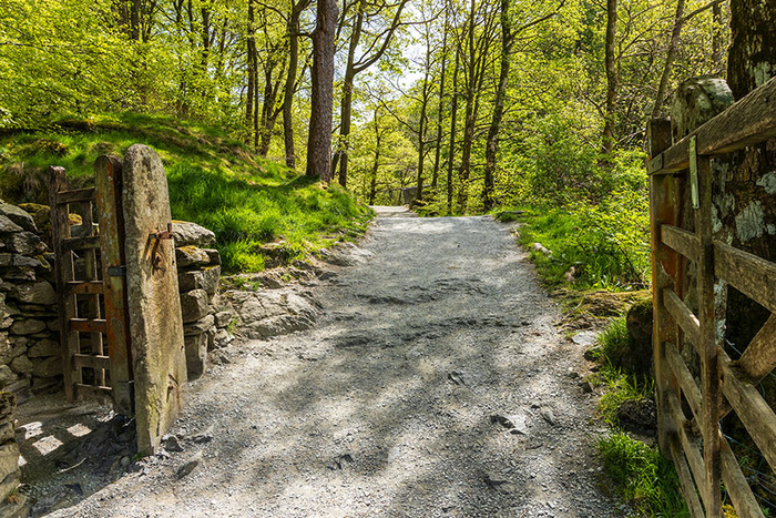
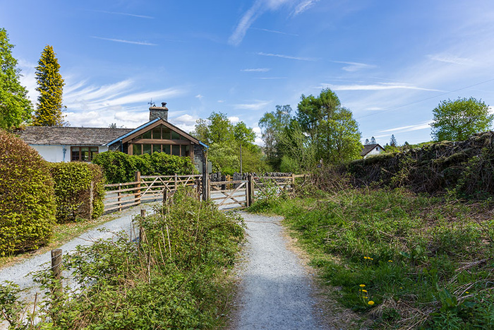
Looking along a path at the side of the National Trust car park, to walk straight towards the gate (visible straight ahead in the picture) which is at one corner of the car park.
The main walk which includes walking alongside Great Langdale Beck, through the Rob Rash woodland, past the lake of Elter Water and alongside the River Brathay to the riverside picnic area at Skelwith Bridge:
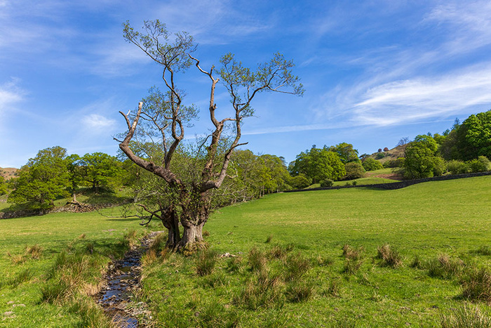
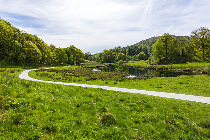
Having walked through the gate. Walking alongside Great Langdale Beck towards the lake of Elter Water.
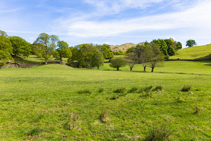
Continuing to follow the path.
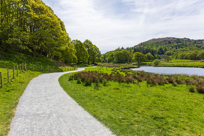
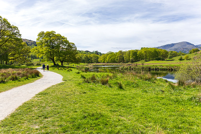
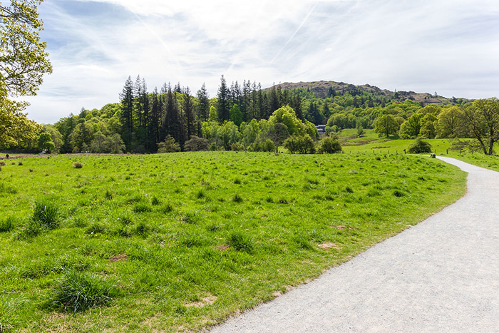
Looking back at Elterwater village.
Continuing to follow the path, walking further away from Elterwater village. Up ahead is a small bridge.
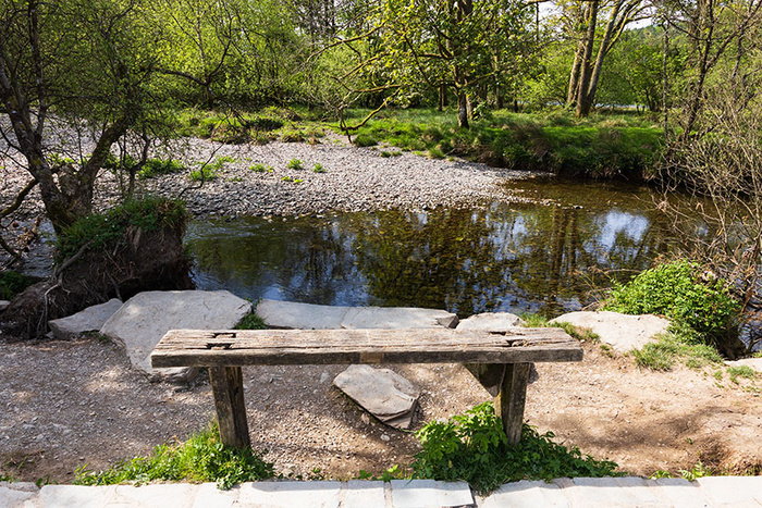
One of the benches on the route.
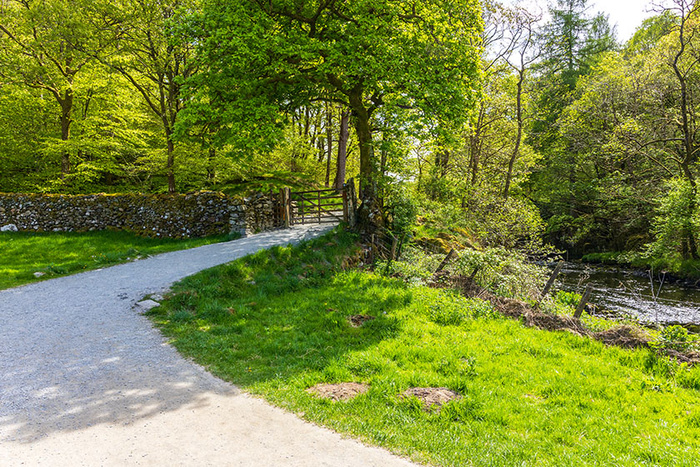
Looking from the path, up towards the road.
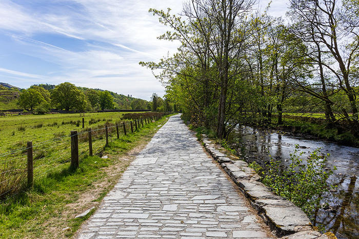
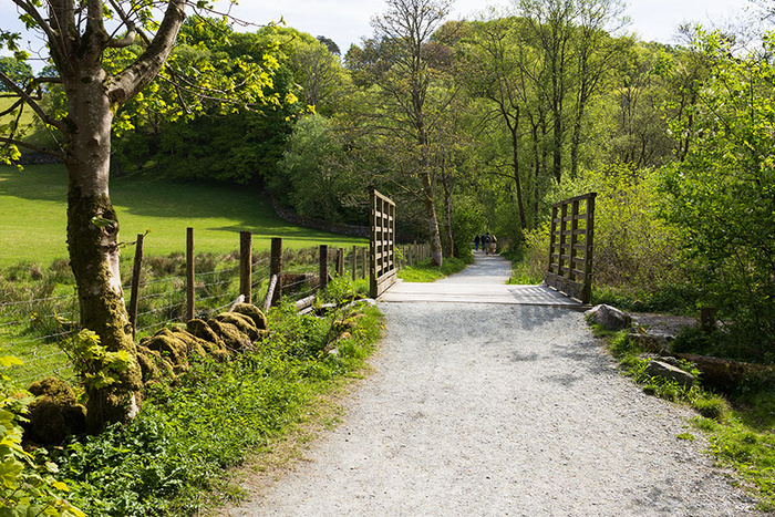
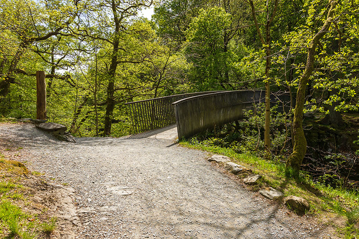
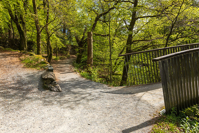
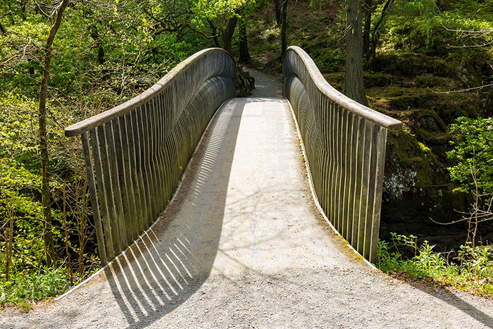
Ahead is another bridge. I have chosen this camera position so as to give an impression of how the bridge area is raised from some of the surrounding area.
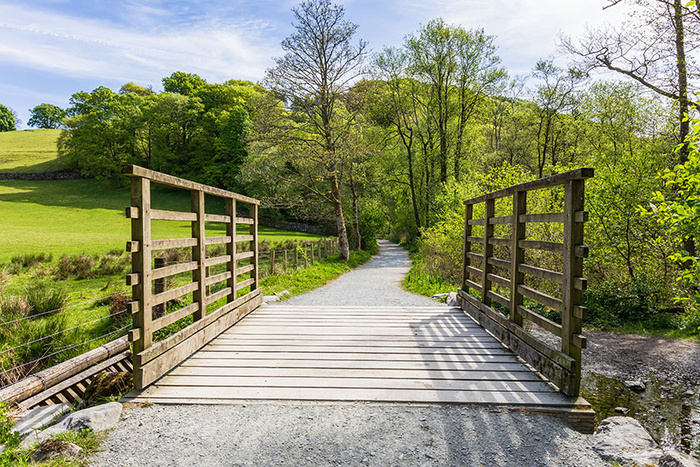
The wooden floor and railings of the bridge look and feel substantial to me. The route has been upgraded since last time I walked it some years ago; previously the path seemed to have a tendency to turn to mud and the crossings seemed prone to flooding. Much work has been done to make the walk more accessible; the walk now seems to be pram-friendly as quite a few of the walkers had prams.
Looking up towards the road again, this time from the bridge.
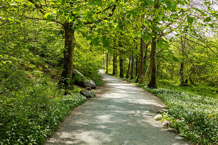
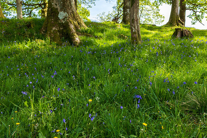
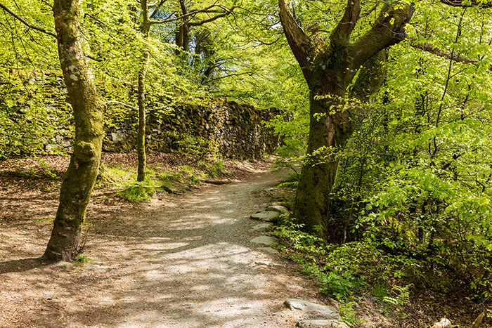
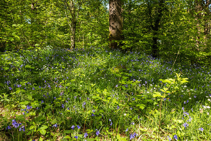
Walking through the Rob Rash woodland. Plants seen on this walk (in early May) included wild garlic (ramsons), ferns and bluebells.
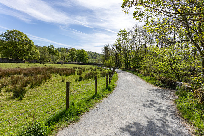
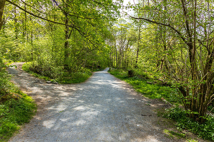
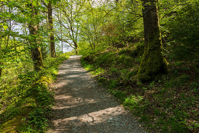
The walk continues straight on here (ignoring a path off to the left).
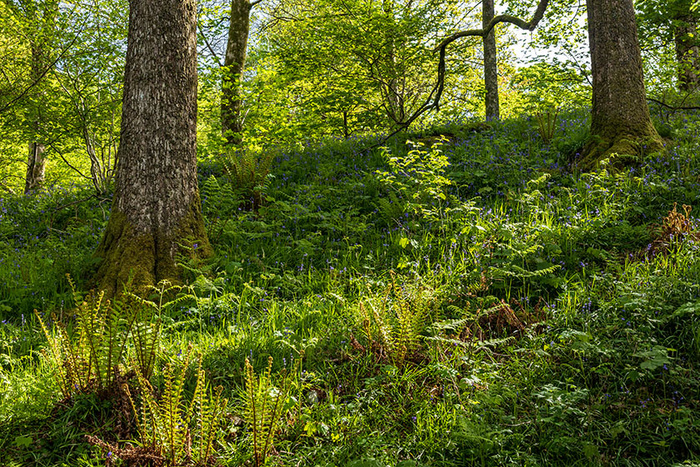
Plants observed included bluebells and ferns.
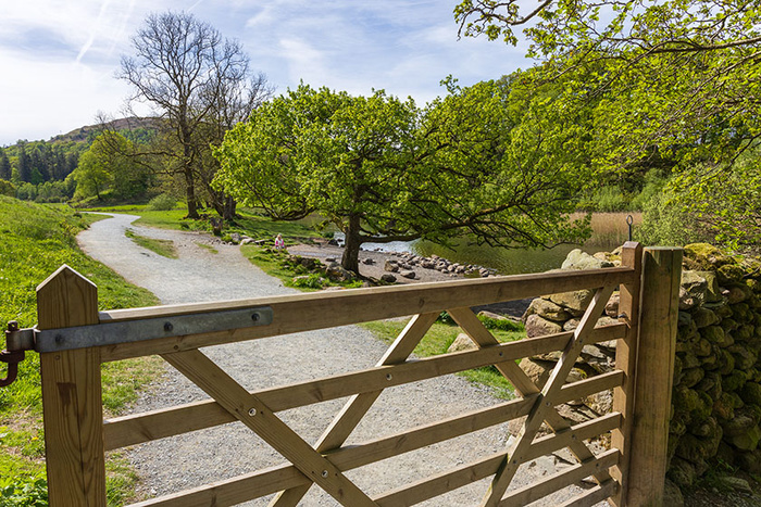
Walking towards the gate to leave the woodland area. The lake will be visible very soon.
Looking over the gate, before opening it in order to reach the lakeside area.
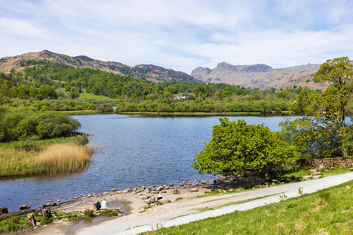
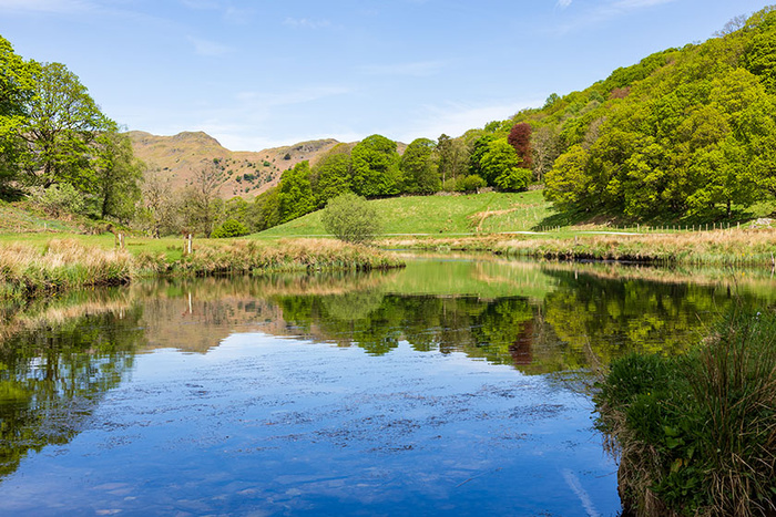
Having gone through the gate, I decided to walk up the grass slope to photograph the lakeside area from higher up. This view is partially looking back; the gate that I have just walked through is off the right side of the image. This view looks across Elter Water, with the Langdale Pikes in the distance.
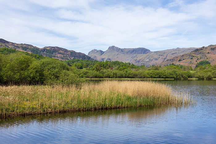
Looking across Elter Water from the lake shore, with the Langdale Pikes visible in the distance.
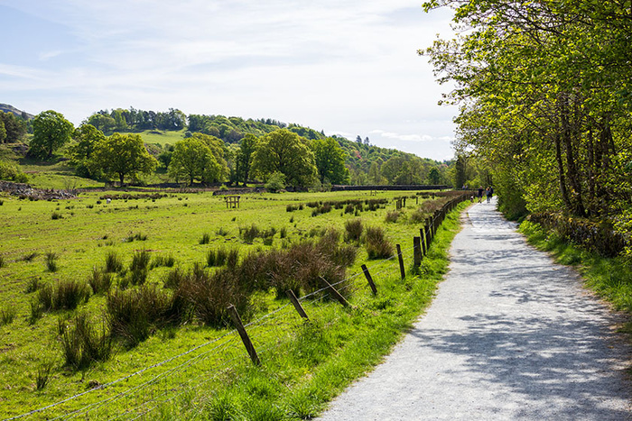
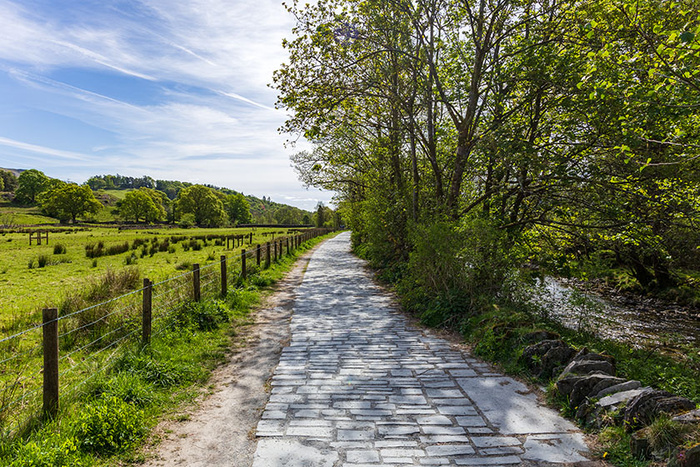
The path is now running alongside the River Brathay.
Following the path alongside the River Brathay and walking further away from Elter Water.
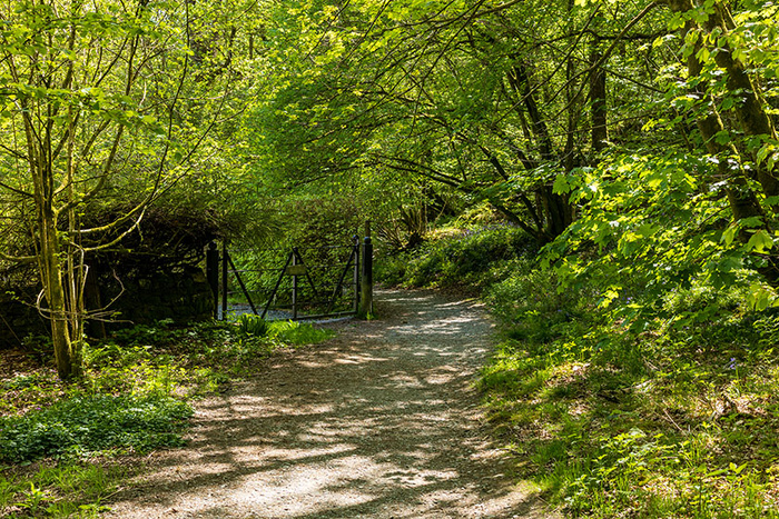
The path continues through the gate ahead.
Looking back at the gate.
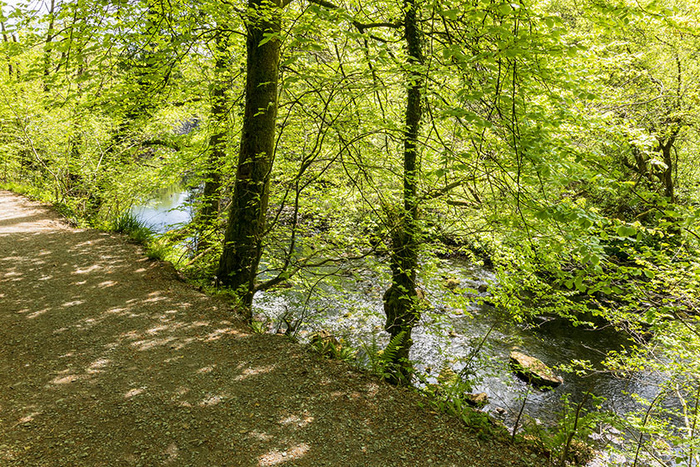
By the river, looking downstream as the path continues.
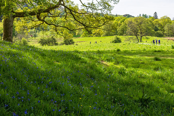
Plants observed near the path included bluebells and dandelions.
Looking back upstream. Although there is plant material on the surface in this view, the river was quite clear. (On the day I could see tadpoles in the water at the edge of the river).
Continuing to follow the path, to walk past a bench. The path sweeps round in a curve to reach a gate (in the distance on the left of the picture), although people sometimes take a shortcut across the grass.
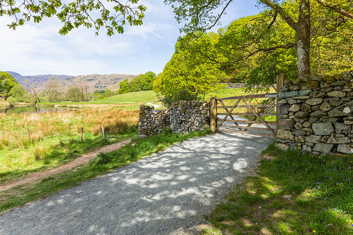
Approaching the gate. The path gets steeper here and it soon gets quite bumpy/rocky around the gate. (Some people choose to turn back at this point, in order to walk back to Elterwater village rather than to continue to Skelwith Bridge).
Continuing to walk towards Skelwith Bridge. There is a choice of two gates; I have opened the larger one for this photograph. This short section of path is steep and bumpy. The path soon gets narrower and stays relatively narrow for much of the remainder of the walk to Skelwith Bridge.
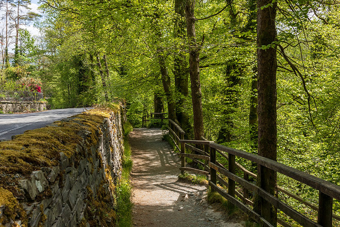
Approaching Woodburn Bridge. The path passes by Woodburn Bridge, however there are route options upon reaching the bridge.
The main path continues ahead to Skelwith Bridge. A path on the left is a very short path to the road. On the right is the Woodburn Bridge; using the bridge is an alternative route to Skelwith Bridge although reaching Skelwith Bridge this way does involve some road walking. (I show the Woodburn Bridge route option later in this blogpost).
Continuing ahead to Skelwith Bridge (ignoring the path on the left to the road and ignoring the Woodburn Bridge route option for now).
Looking down from the path; looking down at the Skelwith Force area. The rocks down there can be extremely slippery. Deep fast flowing water down there is a risk factor also.
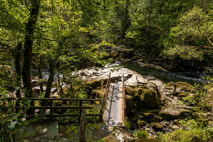
Continuing straight ahead to Skelwith Bridge - the route for Skelwith Bridge is straight on here (rather than turning right to go down to Skelwith Force).
Approaching Skelwith Bridge. Looking towards the right-hand side; looking down at the river. There is no guard barrier on the right-hand side of the path; the river is visible through the trees.
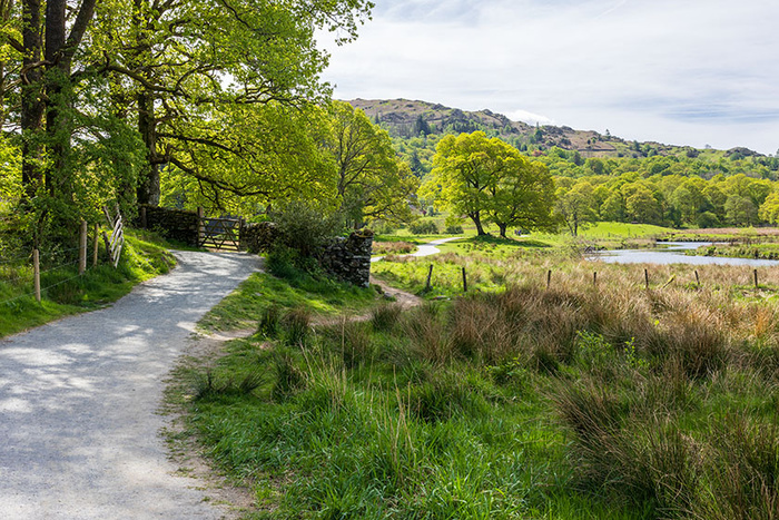
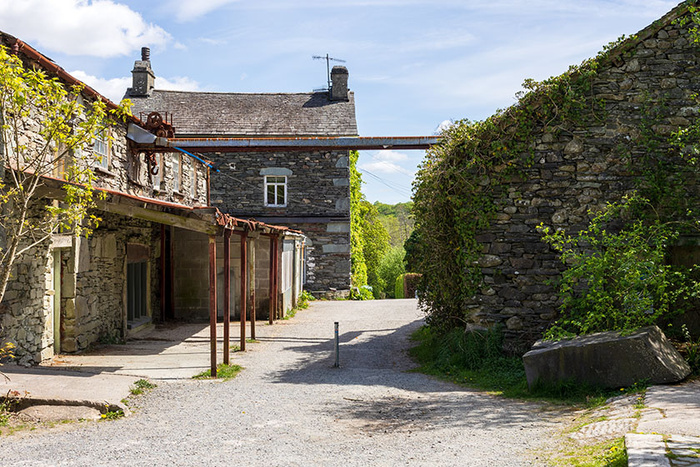
Approaching the site of a former slate works. To continue to Skelwith Bridge, the path goes straight ahead at this point and then leads into a hedgerow-lined path which leads to some quaint riverside cottages in the area of the bridge. There is access to the vegetarian-friendly café “Chesters By The River” a.k.a. “Chesters Bakery & Shop” by briefly going straight ahead (on the path visible in the picture) then turning right. There may be moving vehicles; care is needed.
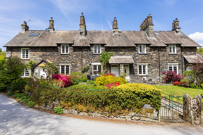
Picturesque riverside cottages at Skelwith Bridge. At this location, the bridge is visible from the path, so in a few moments I will be photographing the bridge.
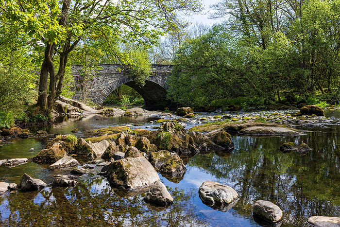
Skelwith Bridge.
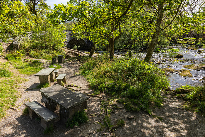
The riverside picnic area at Skelwith Bridge. Places for refreshments nearby include “Chesters By The River” as mentioned previously and also the Talbot Bar which is part of Skelwith Bridge Hotel.
An alternative route from Woodburn Bridge to Skelwith Bridge (this option includes some road walking to reach Skelwith Bridge):
The Woodburn Bridge over the River Brathay.
One of the steep sections - this alternative route has steep uphill and downhill sections of path.
Plants observed in the area (on this walk in early May) included bluebells and ferns.
The path goes to the right of a gate. About a minute later on the walk, I observed that parts of the path were a bit muddy; it looked as if water was flowing over/through/across the path despite there just having been a long dry spell of weather.
At this signpost, I will turn left for Skelwith Bridge. This route does include road walking to reach Skelwith Bridge. (The signpost indicates ¾ mile to Skelwith, however Skelwith Bridge is much closer).
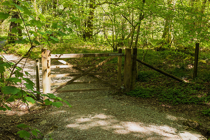
I go through the gate and continue on the path.
The path winds to the right here and will soon get to another gate.
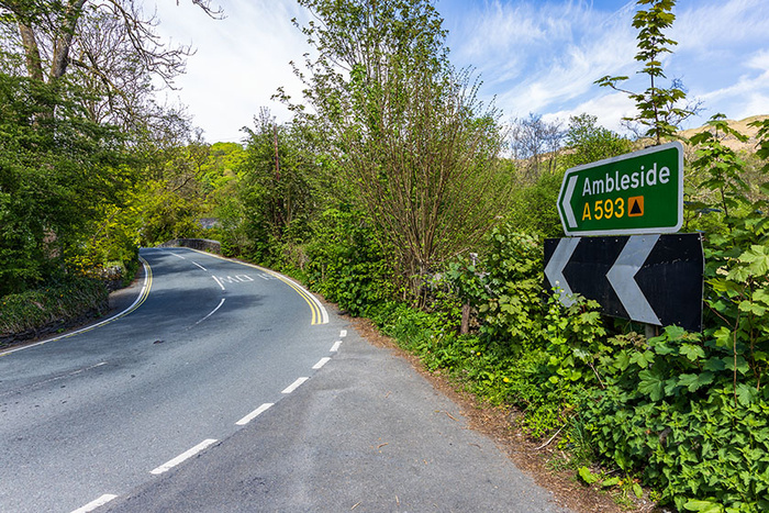
The A593 will be visible upon reaching the gate; I will turn right as soon I am through the gate so as to walk to the road which is very close. Skelwith Bridge is signposted.
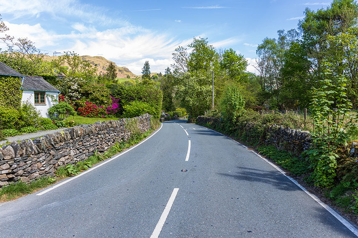
There is a stretch of road walking (downhill) and then upon reaching the bottom of the hill, Skelwith Bridge will be visible. The road is the A593, a road with two-way traffic.
Skelwith Bridge is visible from this position.
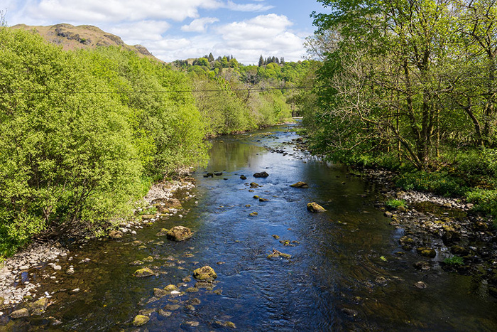
Looking at the River Brathay. Looking from the bridge, from a small pedestrian-refuge part-way across the bridge. Some telegraph wiring has been visible at this location for many years.
Standing at one end of the bridge, having crossed the bridge. On my left, out of picture, is the riverside picnic area. Skelwith Bridge Hotel is visible in the picture, a familiar sight to me as I have travelled through/past the Skelwith Bridge area many times. There are bus services from nearby; the road sign indicates directions to Ambleside and also Elterwater and Langdale.
Disclaimer:
Weather, lighting and ground conditions may vary. Fitness levels may vary. The inclusion of a walk does not guarantee a public right-of-way. Information on walks is given in good faith. Some of the images have had minor retouching, such as the removal of car registration numbers and the removal of camera sensor dust. Walks information is not professional advice so should not be taken to be such.
The Elterwater village area at the start of the walk:
Elterwater village green, with the Britannia Inn in the background.
Looking towards the coffee shop on Maple Tree Corner in Elterwater, from near the National Trust car park.
The National Trust car park in Elterwater.
A signpost near the car park.
Near the car park is Elterwater Bridge which is a Grade II listed building.
Looking along a path at the side of the National Trust car park, to walk straight towards the gate (visible straight ahead in the picture) which is at one corner of the car park.
The main walk which includes walking alongside Great Langdale Beck, through the Rob Rash woodland, past the lake of Elter Water and alongside the River Brathay to the riverside picnic area at Skelwith Bridge:
Having walked through the gate. Walking alongside Great Langdale Beck towards the lake of Elter Water.
Continuing to follow the path.
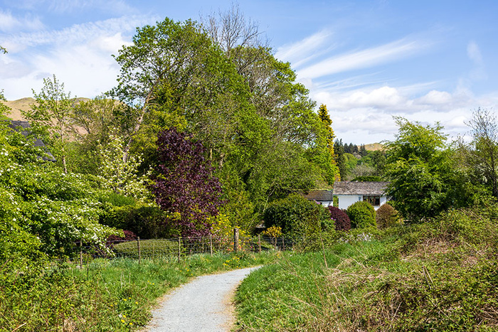
Looking back at Elterwater village.
Continuing to follow the path, walking further away from Elterwater village. Up ahead is a small bridge.
One of the benches on the route.
Looking from the path, up towards the road.
Ahead is another bridge. I have chosen this camera position so as to give an impression of how the bridge area is raised from some of the surrounding area.
The wooden floor and railings of the bridge look and feel substantial to me. The route has been upgraded since last time I walked it some years ago; previously the path seemed to have a tendency to turn to mud and the crossings seemed prone to flooding. Much work has been done to make the walk more accessible; the walk now seems to be pram-friendly as quite a few of the walkers had prams.
Looking up towards the road again, this time from the bridge.
Walking through the Rob Rash woodland. Plants seen on this walk (in early May) included wild garlic (ramsons), ferns and bluebells.
The walk continues straight on here (ignoring a path off to the left).
Plants observed included bluebells and ferns.
Walking towards the gate to leave the woodland area. The lake will be visible very soon.
Looking over the gate, before opening it in order to reach the lakeside area.
Having gone through the gate, I decided to walk up the grass slope to photograph the lakeside area from higher up. This view is partially looking back; the gate that I have just walked through is off the right side of the image. This view looks across Elter Water, with the Langdale Pikes in the distance.
Looking across Elter Water from the lake shore, with the Langdale Pikes visible in the distance.
The path is now running alongside the River Brathay.
Following the path alongside the River Brathay and walking further away from Elter Water.
The path continues through the gate ahead.
Looking back at the gate.
By the river, looking downstream as the path continues.
Plants observed near the path included bluebells and dandelions.
Looking back upstream. Although there is plant material on the surface in this view, the river was quite clear. (On the day I could see tadpoles in the water at the edge of the river).
Continuing to follow the path, to walk past a bench. The path sweeps round in a curve to reach a gate (in the distance on the left of the picture), although people sometimes take a shortcut across the grass.
Approaching the gate. The path gets steeper here and it soon gets quite bumpy/rocky around the gate. (Some people choose to turn back at this point, in order to walk back to Elterwater village rather than to continue to Skelwith Bridge).
Continuing to walk towards Skelwith Bridge. There is a choice of two gates; I have opened the larger one for this photograph. This short section of path is steep and bumpy. The path soon gets narrower and stays relatively narrow for much of the remainder of the walk to Skelwith Bridge.
Approaching Woodburn Bridge. The path passes by Woodburn Bridge, however there are route options upon reaching the bridge.
The main path continues ahead to Skelwith Bridge. A path on the left is a very short path to the road. On the right is the Woodburn Bridge; using the bridge is an alternative route to Skelwith Bridge although reaching Skelwith Bridge this way does involve some road walking. (I show the Woodburn Bridge route option later in this blogpost).
Continuing ahead to Skelwith Bridge (ignoring the path on the left to the road and ignoring the Woodburn Bridge route option for now).
Looking down from the path; looking down at the Skelwith Force area. The rocks down there can be extremely slippery. Deep fast flowing water down there is a risk factor also.
Continuing straight ahead to Skelwith Bridge - the route for Skelwith Bridge is straight on here (rather than turning right to go down to Skelwith Force).
Approaching Skelwith Bridge. Looking towards the right-hand side; looking down at the river. There is no guard barrier on the right-hand side of the path; the river is visible through the trees.
Approaching the site of a former slate works. To continue to Skelwith Bridge, the path goes straight ahead at this point and then leads into a hedgerow-lined path which leads to some quaint riverside cottages in the area of the bridge. There is access to the vegetarian-friendly café “Chesters By The River” a.k.a. “Chesters Bakery & Shop” by briefly going straight ahead (on the path visible in the picture) then turning right. There may be moving vehicles; care is needed.
Picturesque riverside cottages at Skelwith Bridge. At this location, the bridge is visible from the path, so in a few moments I will be photographing the bridge.
Skelwith Bridge.
The riverside picnic area at Skelwith Bridge. Places for refreshments nearby include “Chesters By The River” as mentioned previously and also the Talbot Bar which is part of Skelwith Bridge Hotel.
An alternative route from Woodburn Bridge to Skelwith Bridge (this option includes some road walking to reach Skelwith Bridge):
The Woodburn Bridge over the River Brathay.
One of the steep sections - this alternative route has steep uphill and downhill sections of path.
Plants observed in the area (on this walk in early May) included bluebells and ferns.
The path goes to the right of a gate. About a minute later on the walk, I observed that parts of the path were a bit muddy; it looked as if water was flowing over/through/across the path despite there just having been a long dry spell of weather.
At this signpost, I will turn left for Skelwith Bridge. This route does include road walking to reach Skelwith Bridge. (The signpost indicates ¾ mile to Skelwith, however Skelwith Bridge is much closer).
I go through the gate and continue on the path.
The path winds to the right here and will soon get to another gate.
The A593 will be visible upon reaching the gate; I will turn right as soon I am through the gate so as to walk to the road which is very close. Skelwith Bridge is signposted.
There is a stretch of road walking (downhill) and then upon reaching the bottom of the hill, Skelwith Bridge will be visible. The road is the A593, a road with two-way traffic.
Skelwith Bridge is visible from this position.
Looking at the River Brathay. Looking from the bridge, from a small pedestrian-refuge part-way across the bridge. Some telegraph wiring has been visible at this location for many years.
Standing at one end of the bridge, having crossed the bridge. On my left, out of picture, is the riverside picnic area. Skelwith Bridge Hotel is visible in the picture, a familiar sight to me as I have travelled through/past the Skelwith Bridge area many times. There are bus services from nearby; the road sign indicates directions to Ambleside and also Elterwater and Langdale.
Disclaimer:
Weather, lighting and ground conditions may vary. Fitness levels may vary. The inclusion of a walk does not guarantee a public right-of-way. Information on walks is given in good faith. Some of the images have had minor retouching, such as the removal of car registration numbers and the removal of camera sensor dust. Walks information is not professional advice so should not be taken to be such.